Sky Lane Infra Height
Durgapur
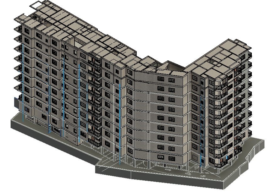
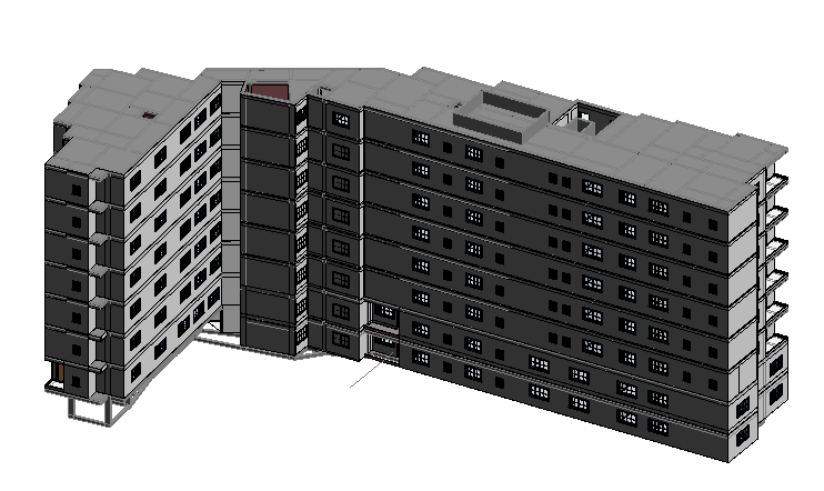
Project Gallery


Project Overview
Sky Lane Infra Height is a state-of-the-art commercial infrastructure project requiring high-fidelity virtual construction workflows. Our team delivered comprehensive BIM services to streamline multi-disciplinary engineering layouts prior to fabrication.
Challenge
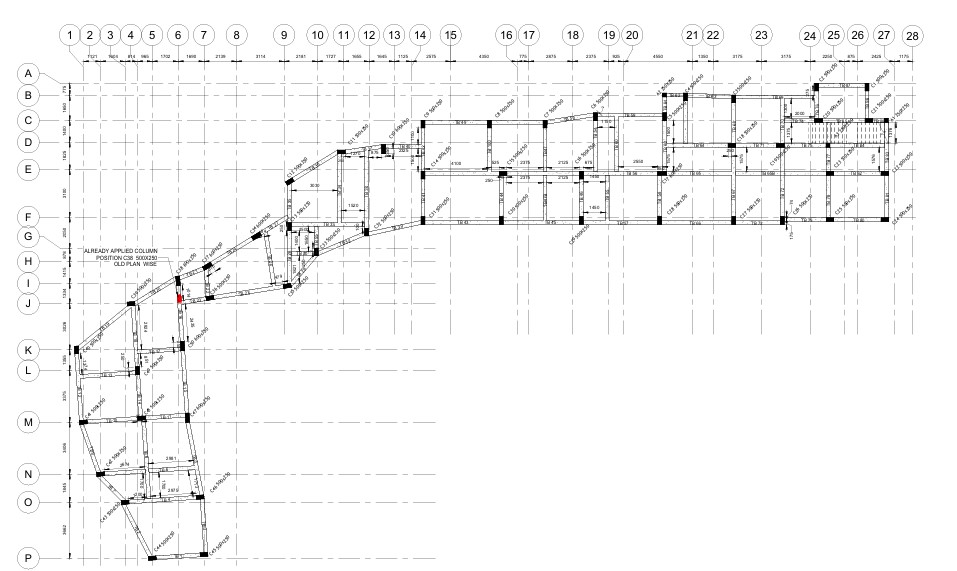
The project faced critical structural spatial constraints with complex MEP (Mechanical, Electrical, Plumbing) pathways, risking severe on-site spatial clashes, material waste, and scheduling delays between the structural skeleton and HVAC systems.
Solution
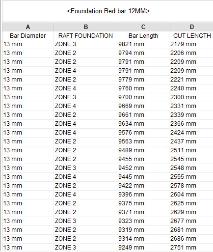
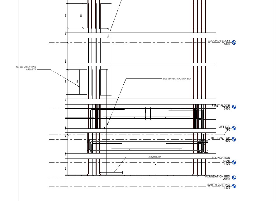
Utilizing Autodesk Revit and Navisworks, we developed an accurate LOD 500 BIM model. We executed advanced structural detailing and automated clash detection reports, establishing a single source of truth for seamless MEP coordination.
Results
Achieved a 100% pre-construction clash resolution rate, reducing field RFI loop cycles and saving significant material overhead. The as-built LOD 500 lifecycle model was successfully handed over for efficient facility management.
Details
Sky Lane Infra Height stands as a benchmark for modern commercial infrastructure. To achieve construction excellence, our team deployed an advanced VDC (Virtual Design and Construction) framework.
By synthesizing architectural, structural, and MEP data into an integrated LOD 500 BIM model using Revit and Navisworks, we eliminated spatial errors before ground broke. This case study demonstrates how data-driven BIM execution plans optimize engineering accuracy, accelerate project timelines, and deliver clear operational data for long-term facility management.
Project Details
| Category | commercial |
| Software | Revit, Autocad, Naviswork, |
| LOD Level | LOD500 |
| Status | Completed |
| Client | Infrastructure Developer |
| Year | 2026 |
Scope of Work
Comprehensive LOD 500 BIM modeling, MEP coordination, spatial clash detection, and architectural structural detailing for a high-rise commercial infrastructure project.
Start Similar Project